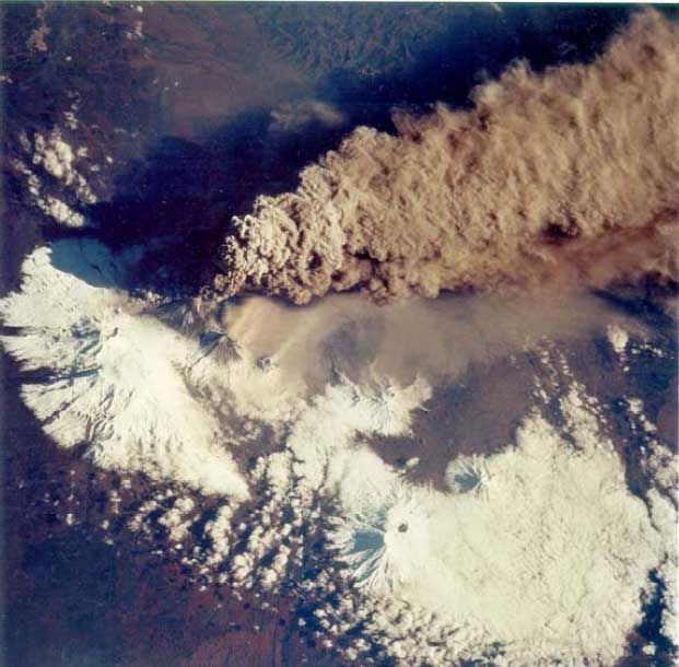
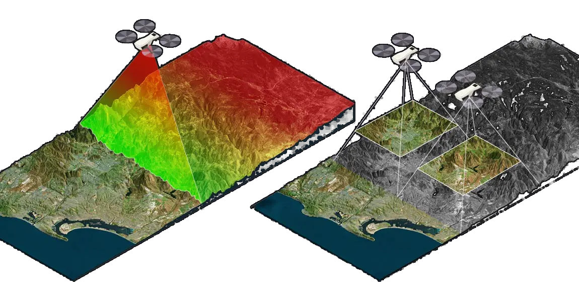
Fundamentals of rapidly developing technology GIS-based in data-intensive processing of geo-spatial and raster data. The students learn applications for extracting, keeping, querying and processing spatial data for many applied disciplines such as earth science, geography, health, ecology and history. Volumetric and 3d models derived from UAS (drone) mission and publicly available data, Landsat imagery processing and applied geospatial indices are the outcomes of data-oriented exercises. QGIS, Google Earth, Mesh-lab and ODM (Open Drone Maps) open-source software will be used throughout the course. Prerequisites: Computer Science 105 or ES/CS216 (GIS) or proficiency with Excel and permission of instructor. Lectures and laboratory exercises will be combined in each session. 3 Credits
- Teacher: Eugene Potapov
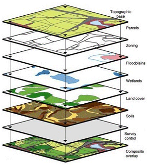
Environmental Sciences 105 introduces a scientific approach to sustainability and explores how today’s and past human societies have faced an ever changing environment, ecosystem conversions and resource depletions. The course focuses on key areas of sustainability theory and practice, including population, ecosystems, global change, energy, agriculture, water, environmental economics and policy, ethics, and cultural history, and draws on understanding ecology and earth sciences.
- Teacher: Eugene Potapov
ES105Lab is a one-credit-hour lab course to accompany Earth Science 105 lectures. Environmental
Sciences 105 introduces a scientific approach to sustainability and explores
how today’s and past human societies have faced an ever changing environment,
ecosystem conversions and resource depletions. The course focuses on key areas
of sustainability theory and practice, including population, ecosystems, global
change, energy, agriculture, water, environmental economics and policy, ethics,
and cultural history, and draws on understanding ecology and earth sciences.
- Teacher: Eugene Potapov
 Earth Science 110 on the moodle
- Dr. Eugene Potapov: Eugene Potapov